Grindelwald to Lauterbrunnen
Description
This hike in the Jungfrau region links two of the most iconic places in the region: Grindelwald and Lauterbrunnen. While both villages attract plenty of tourists, this trail offers a quieter way to enjoy the Jungfrau region’s scenery. This hike allows you to escape the crowds and enjoy the beautiful scenery of the Jungfrau region.
The journey starts in Grindelwald. We are going to walk towards the Kleine Scheidegg station. The trail is quite easy, graded T1, but it’s continuously ascending through pasture and farms. We start seeing the Eiger, Mönch, and Jungfrau from the first part of the hike.
Once you reach the Kleine Scheidegg station, you will be able to decide whether you want to continue the hike towards Lauterbrunnen or not. The remaining part of the hike is mostly downhill. If you decide to stop, you can either stay directly at the “Hotel Bellevue des Alpes” or take the train back to either Grindelwald or Lauterbrunnen.
After Kleine Scheidegg, the trail goes through more pastures. The surrounding landscape full of mountains is truly magical. I really like the colors in autumn. The grass turns yellow/orange, and the peaks are covered in snow. After a while, you will start descending into the Lauterbrunnen valley. The path through the forest is not the most exciting part of the hike. Seeing the Lauterbrunnen valley at the end is really rewarding. We get to see the dramatic cliffs and the famous waterfalls. The hike ends at the train station.
Logistics
You will have to travel to
![]() Interlaken Ost, then take the train to
Interlaken Ost, then take the train to
![]() Grindelwald. Beware, two trains are on the same platform. Make sure you are on the correct one. On the way back, you will start from the
Grindelwald. Beware, two trains are on the same platform. Make sure you are on the correct one. On the way back, you will start from the
![]() Lauterbrunnen station.
Lauterbrunnen station.
Details
1410 m ↓
2062 m
Tags
Map
Grindelwald → Kleine Scheidegg → Lauterbrunnen
Photos


You may also like
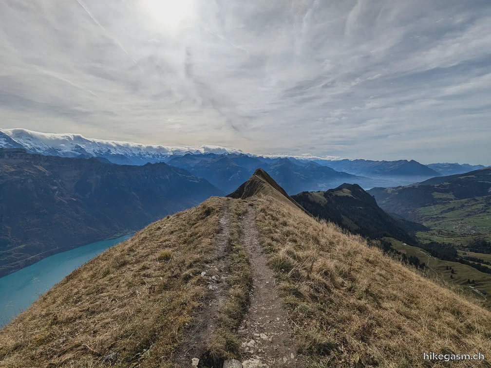
Hardergrat Ridge Hike
Above Interlaken, this ridge hike offers great views of Lake Brienz and Lake Thun. The Hardergrat hike is one of the most famous hikes in Switzerland. Many people are walking the full length of the …
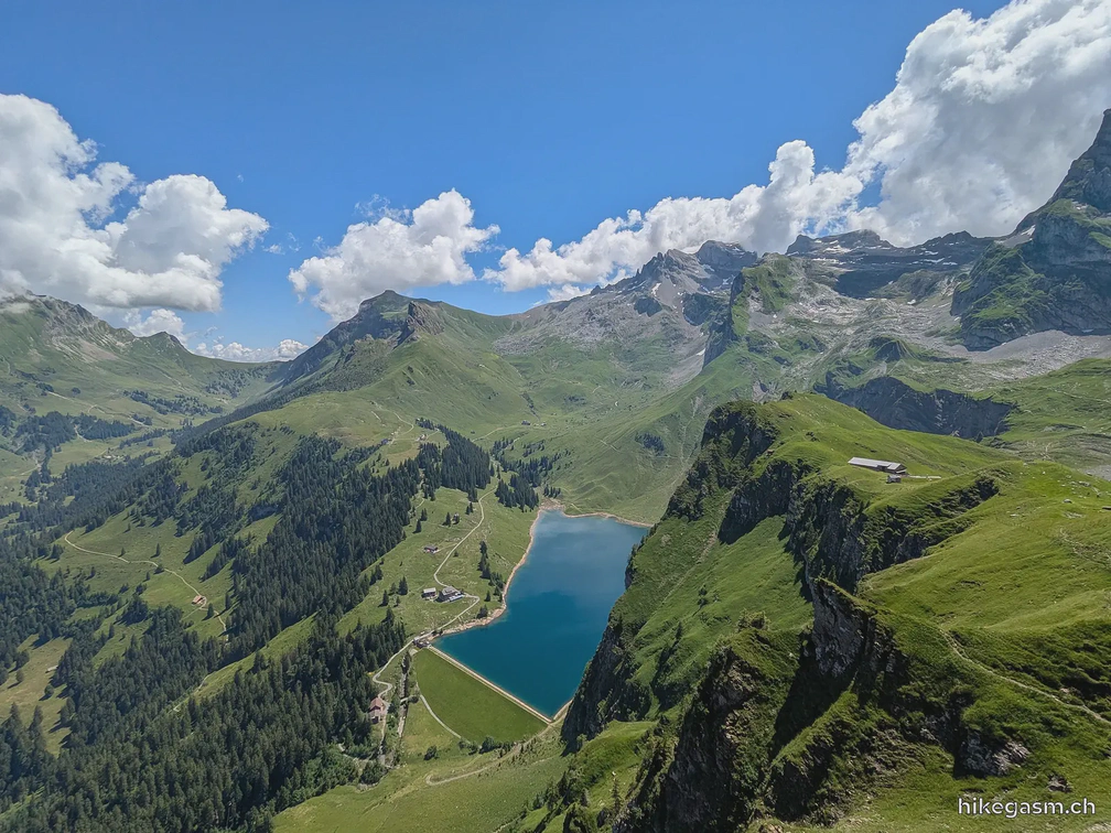
Walenpfad Trail
At only 45 minutes from Lucerne, Engelberg is a perfect mountain destination away from the city. The main highlight of the Walenpfad is the wide-open views over Lake Bannalp and the surrounding …
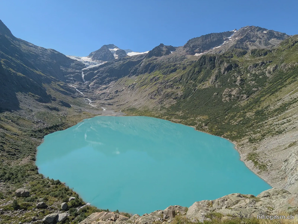
Triftsee Hike
Triftsee is a turquoise mountain lake in the Grimselwelt region, surrounded by mountains. It’s one of the most photogenic spots in the Swiss Alps. You can also cross the Trift Bridge …